Hurricane season is a nervous time of year for folks living near the coast. The threat for destructive winds and storm surge flooding can upend entire communities when a storm roars ashore.
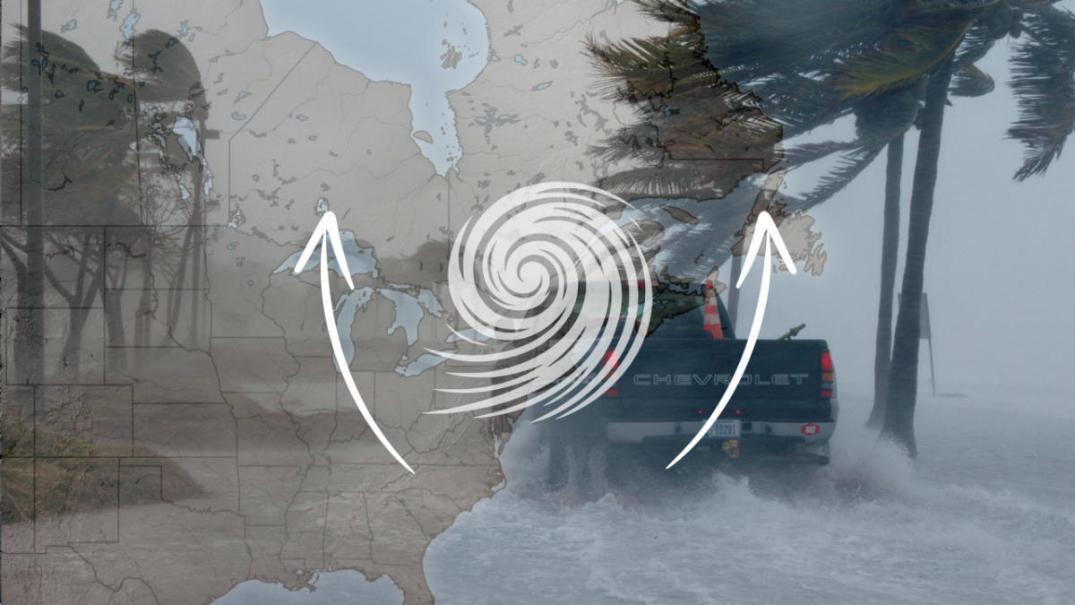
But a storm’s hazards don’t stop at the coast. A landfalling tropical system can send dangerous conditions hundreds and even thousands of kilometres inland, sometimes dragging these hazards deep over Canadian soil.
DON’T MISS: Tropical systems don’t need a name to trigger devastating floods
Canada is not immune to tropical systems
Tropical cyclones feed their energy from steamy ocean waters at lower latitudes. These storms begin to lose their energy when they lose that heat source, whether by making landfall or moving over colder waters.
After landfall, a storm will eventually lose its defining characteristics and turn into a trough of low pressure which meteorologists often refer to as the “remnants” of the tropical system. These remnants can retain their punch for quite a while after making landfall, bringing hazardous conditions far inland from where they initially pushed ashore.

You might be surprised to learn just how many storms or remnants have affected Canada since reliable record keeping began back in 1851.
The tracks of 140 storms or their remnants have directly crossed over Newfoundland over the past century and a half, while 120 of these systems have passed directly over Nova Scotia.
While it’s no surprise that the East Coast is vulnerable to tropical systems, did you know that 31 storms or their remnants have crossed directly over Ontario? A whopping 97 storms have tracked over portions of Quebec since the middle of the 19th century.
And these statistics don’t factor in the number of sprawling storms that brought dangerous winds, rain, and flooding to Canada without directly moving over our side of the border.
Given that Canada is no stranger to the remnants of tropical systems, here’s a look at some of the threats folks across Ontario, Quebec, and Atlantic Canada can face from landfalling tropical systems during the height of hurricane season.
Flooding rains are the greatest threat
Torrential downpours are far and away the greatest threat associated with any landfalling storm. Freshwater flooding from heavy rainfall is the leading cause of death when a tropical cyclone swirls ashore.
MUST SEE: How a mammoth hurricane rapidly intensifies in mere hours
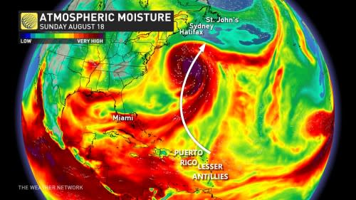

Tropical cyclones are packed with a tremendous amount of moisture, making these storms capable of producing rainfall rates of 50+ mm per hour. We’ve seen plenty of cases in recent history where storms and their remnants brought communities in Canada an entire month’s worth of rain in a day or two.
Heavy rain can quickly overwhelm natural waterways and force rivers and streams to overrun their banks in a hurry. These downpours can also saturate storm sewers and cause significant flash flooding across low-lying areas.
Remember: it’s never safe to drive across a flooded roadway. It’s impossible to tell how deep the water is until it’s too late, and it only takes a few centimetres of moving water to lift a vehicle and carry it downstream.
Tropical tornadoes and high winds are a sneaky danger
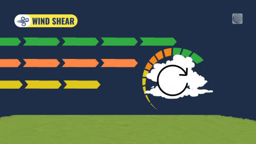
Tornadoes are an underrated hazard when a storm makes landfall. Strong wind shear and instability lingering in tropical remnants can make these storms potent tornado producers even days after they’ve made landfall.
RELATED: Tropical tornadoes are a hidden danger in landfalling storms

Some of the biggest summertime tornado outbreaks on record occurred as tropical storms and hurricanes pushed their way inland. Ontario and Quebec aren’t immune from this threat, either. The remnants of Hurricane Beryl in 2024 brought two “surprise” tornadoes to Ontario as the prolific tornado producer brushed the province.
Even without a tornado potential, gusty winds can remain a hazard as tropical remnants swing through the region. Rain-soaked soils combined with blustery conditions can lead to downed trees and power lines, posing a safety threat to homes and vehicles alike.

