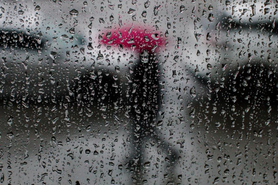
Heavy rain is possible across parts of southwestern Ontario starting late Tuesday afternoon, according to Environment Canada.
It’s expected to taper off through Wednesday morning — and when all is said and done some areas could see anywhere from 30 to 45 millimetres.
A special weather statement is now in effect for much of the region — including Windsor-Essex, Chatham-Kent and Sarnia-Lambton.
“Showers are expected to push into the region through the afternoon as a moisture laden system moves into the Great Lakes Basin,” said the federal weather agency in a statement.
The rain is expected to become more widespread and heavy tonight with the risk for thunderstorms as a “more unstable air mass moves in.”

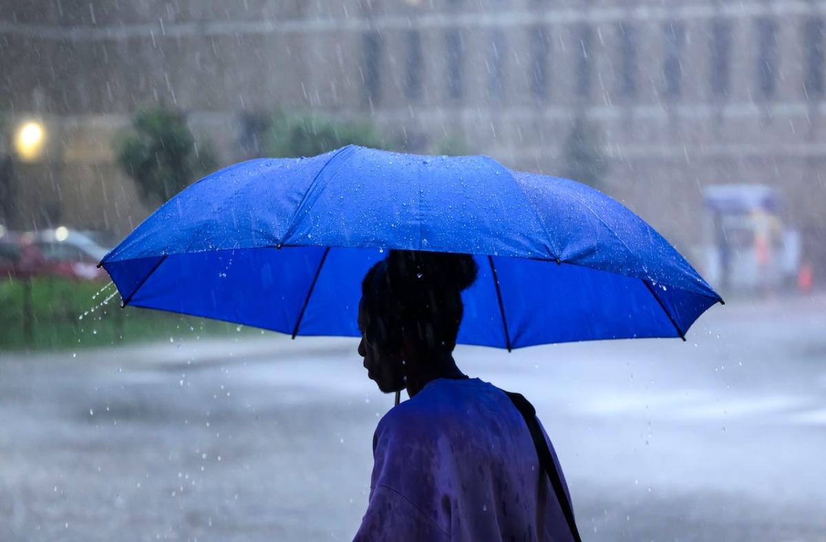
The federal weather agency says parts of the region could see as much as 45 millimetres with rainfall warnings possibly being issued. (Ben Nelms/CBC)
Some areas could end up seeing the advisory upgraded to a rainfall warning as the storm tracks closer.
“There still remains a high degree of uncertainty on where the heaviest rain will setup,” the statement added.
Environment Canada recommends consulting with local conservation authorities and monitoring digital and broadcast weather reports for the most up-to-date information.
“Heavy downpours can cause flash floods and water pooling on roads. Localized flooding in low-lying areas is possible.”

