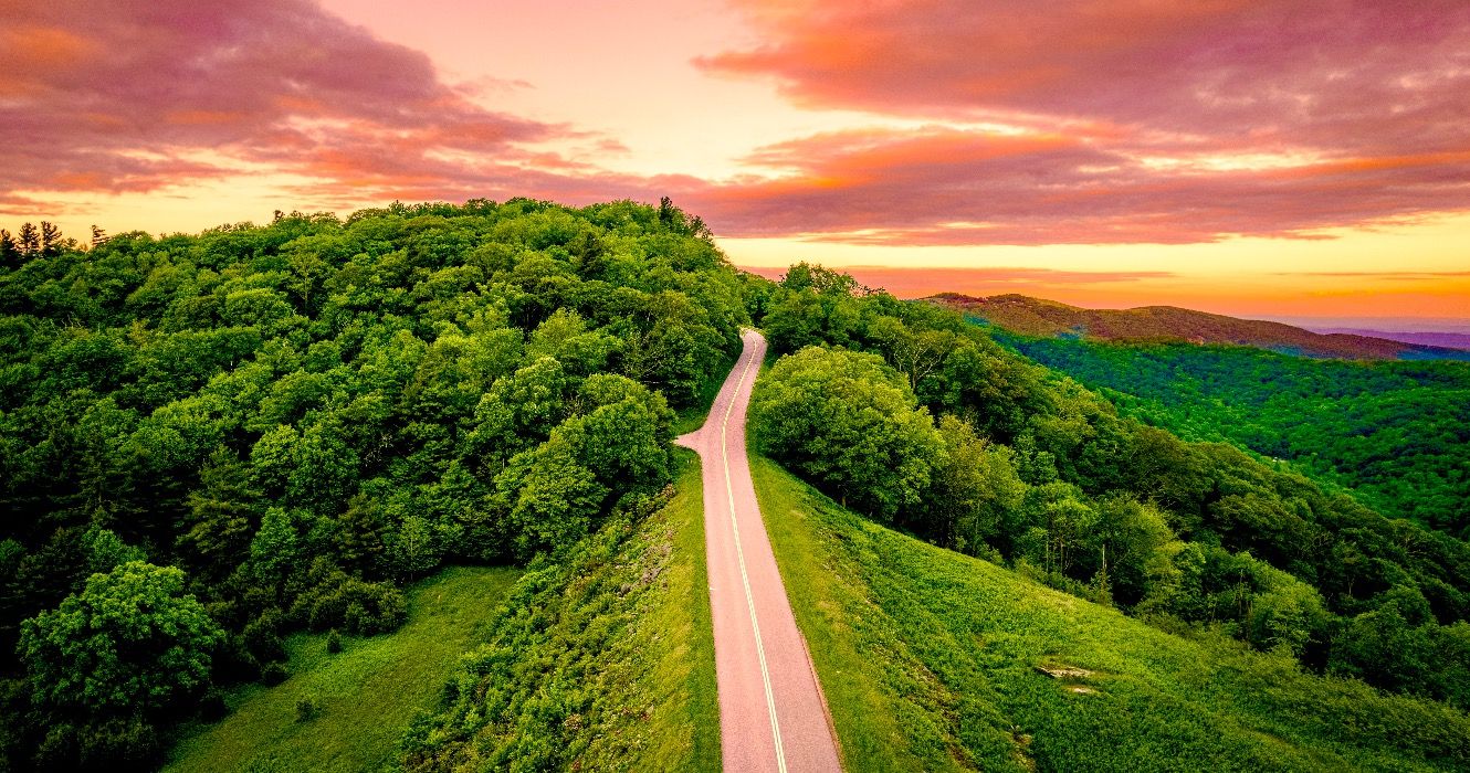
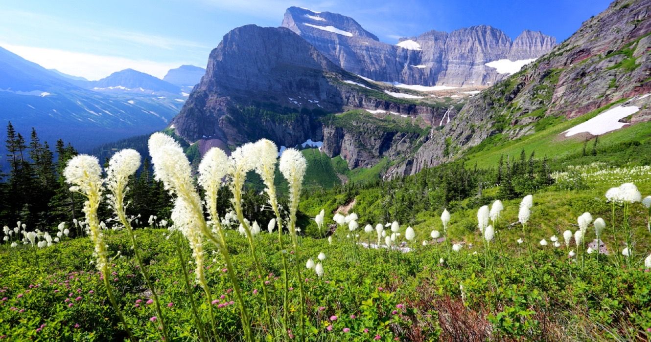
As you drive along this scenic route on the US-Canada border, you’ll be surrounded by an ever-changing landscape of grasslands, forests, and majestic mountains.
Whether you’re an avid nature enthusiast or simply looking for a peaceful drive through some of North America’s most beautiful landscapes, a drive down the Chief Mountain Highway is a must-do to visit Glacier National Park in the United States and Waterton Lakes National Park in Canada on an epic journey.
The idea for this road link, The Chief Mountain International Highway, which would reduce the connection between Waterton Lakes National Park (Canada) and Glacier National Park (U.S.) by about 30 miles, was suggested as early as 1915.
Start your adventure on Highway 89, just north of Babb, Montana. The road transforms into the spectacular Chief Mountain Highway, an approximately 30-mile scenic stretch that is the main route between the two parks.
Related
7 Underrated Secret Spots In Glacier National Park
Less frequented and awe-inspiring, these secret spots in Glacier National Park are some of the most splendid destinations.
Underrated Chief Mountain Highway & Lookout Between USA & Canada
The premiere scenic entrance road connecting Glacier National Park in the US and Waterton National Park in Canada
Chief Mountain Port of Entry, on Chief Mountain Highway between USA’s Glacier National Park and Canada’s Waterton Lakes National Park
The Chief Mountain highway travels northwest through Blackfeet territory into the northeastern tip of Glacier National Park and over the international border between the US and Canada.
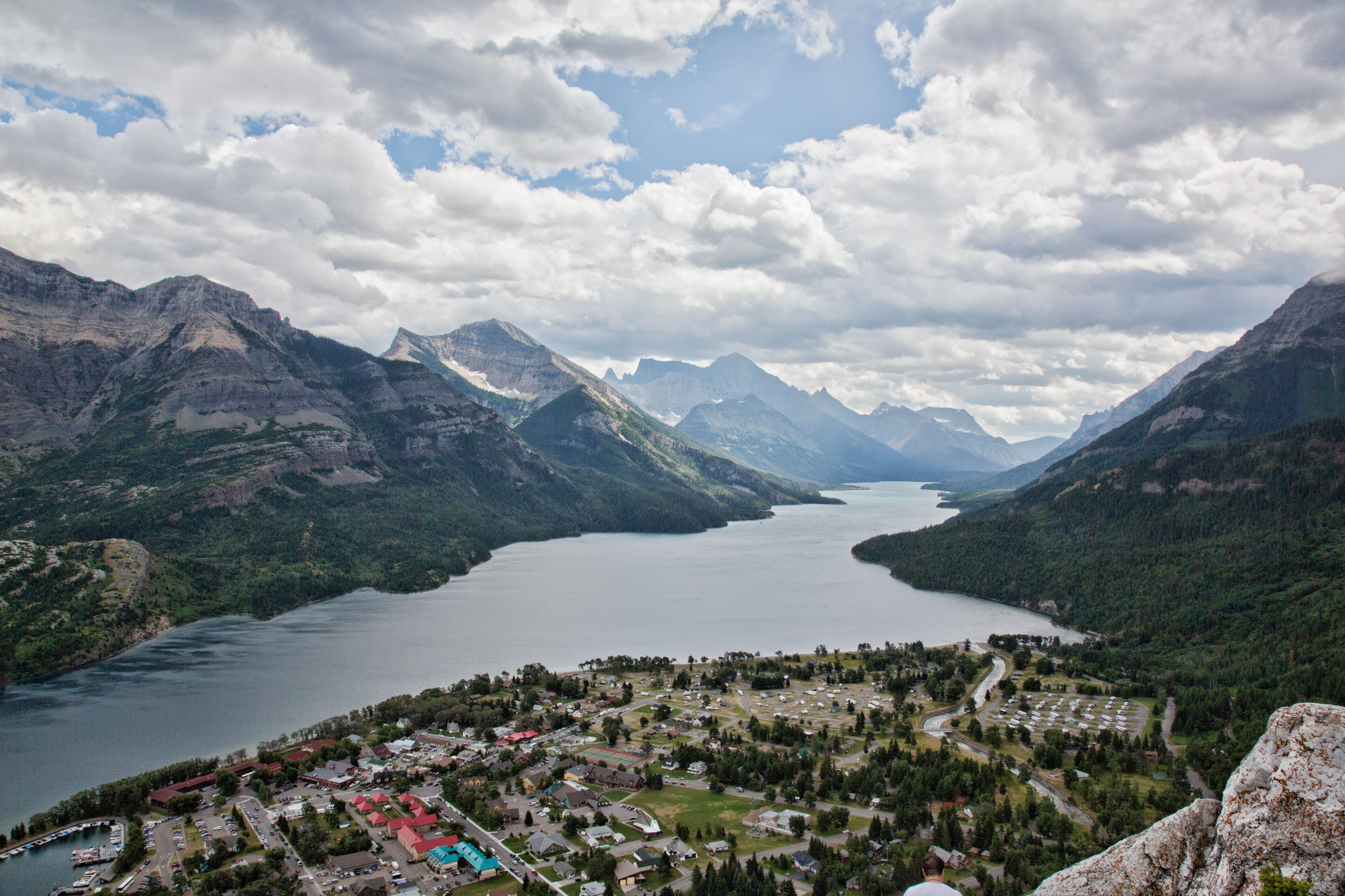
There, it becomes Provincial Route 6 and continues until it intersects Canada’s Highway 5 at the east edge of Waterton National Park. No journey along the Chief Mountain Highway would be complete without a stop at the Chief Mountain Lookout, also known as Waterton Valley Viewpoint.
Perched high above the Rocky Mountains, it provides an unparalleled panoramic view of the rolling hills, distant mountains, and deep Waterton and Blakiston valleys.
The locals often call it “two flags” because of the Canadian and American flags that fly there. This viewpoint is the perfect point to pull over, but there is also a nearby trail to stretch your legs.
Both are easily accessible, just a short walk from the parking area to the viewing platform.
The Chief Mountain Highway Lookout Trail is a moderate-level route that is a little under a mile-long round-trip to complete. It follows the former Chief Mountain Highway Fire Lookout location, which was in service until the 1970s.
Today, it’s a popular trail for bird-watching, hiking, and cross-country skiing during the winter months. Although it is overgrown during summer, it is great for hikers who want to see the park from another perspective.
Traveling the Chief Mountain Highway is an unforgettable journey that offers the best of Glacier and Waterton Lakes National Parks, showcasing the incredible natural beauty spanning the United States—Canada border.

Related
Discovering The Beauty Of The Blue Ridge Scenic Highway: A Scenic Drive Through North Carolina’s Mountains
Often regarded as North Carolina’s most scenic route, the Blue Ridge Parkway is one drive you don’t want to miss.
Experience The Natural Splendor Of Glacier National Park Via The Chief Mountain Highway
A haven of rugged mountains, pristine forests, and diverse wildlife
Established as a national park in 1910, Glacier National Park is located on the border of Montana and Alberta, Canada. The “Crown of the Continent” boasts more than 700 miles of trails, alpine meadows, over 25 active and magnificent glaciers, and over 700 lakes.
The park features a variety of trails for all skill levels. For beginners, check out some of the best hikes in Glacier National Park, under 5 miles.
Experience the park at your own pace on one of the easier hikes, the 1-mile round-trip loop Trail of the Cedars, an easy stroll through the old-growth forests to scenic waterfalls and creeks.
Challenging hikes, like the Grinnell Glacier Trailhead, include steep climbs to see the glaciers. This is a strenuous hike, but you’ll be rewarded with sweeping views of glaciers and emerald-colored lakes, one of the park’s most photographed areas.
Besides the Chief Mountain Highway, Glacier National Park is also home to one of America’s most scenic drives in a national park. The Going-to-the-Sun Road spans 20 to 90 miles, depending on the route, and provides some of the most amazing views in the state. Put this destination on your bucket list soon because this top national park could disappear by 2030.\
Plan accordingly; most roads within Glacier National Park are only open seasonally.
See the map online
for the current status and recent road openings and closures. Or, sign up for Glacier National Park Notifications to receive live updates. Text GNPROADS to 333111 for up-to-date information about the road openings and closures.

Related
14 Best Places To Stay At Glacier National Park
Among the most picturesque parks in the country is Glacier National Park, where you can stay to make your upcoming trip a memorable experience.
Exploring Waterton Lakes National Park In Canada Via The Chief Mountain Highway
A blend of prairie, mountains, and crystal-clear lakes
Tucked away in the southwestern corner of Alberta, where the Rocky Mountains meet the open prairie, Waterton Lakes National Park is known internationally for its notable sites, such as Cameron Falls and Red Rock Canyon.
The diverse landscapes include cascading waterfalls, towering mountains, a string of pristine lakes, and rainbow-colored streams.
Plenty of activities keep visitors busy, including wildlife viewing, lake water sports, stargazing, and hiking on over 120 miles of hiking trails across the area. Some of the best hikes in Waterton Lakes National Park include short hikes for the whole family and multi-day adventures.
One of the most popular hikes is the Bear’s Hump Trail, a short and moderate hike that rewards you with incredible valley views. Advanced hikers will appreciate the demanding Akamina Ridge Trail, which typically requires up to 8 hours for the average hiker to complete.
The park is open year-round, but the main hiking season is July through September. In the winter months, snowshoeing and cross-country skiing are also available.
- Address: CBSA Chief Mountain Port of Entry, Highway #6, Waterton Park, Alberta, Canada
- Hours: Seasonal restrictions apply. The Chief Mountain Border Crossing is open from May 15 through September 30; times vary. See the U.S. Customs and Border Protection website for more details.
- Requirements: A passport is required for all international border crossings. To find up-to-date information about crossing the border, visit https://travel.gc.ca/.
Chief Mountain Port of Entry is on the Waterton Lakes National Park boundary along Alberta’s Highway 6. It has one of Canada’s highest elevations of border crossings at a whopping 5,000 feet, and is often considered one of Canada’s most scenic entry points.
The Chief Mountain Highway is a gorgeous & primary route between Canada’s Waterton Lakes National Park and Glacier National Park in the US. It is fabulous opportunity to climb the grasslands near Maskinonge Lake to a viewpoint that offers a magnificent panorama of the Waterton and Blakiston valleys (Chief Mountain lookout).


