
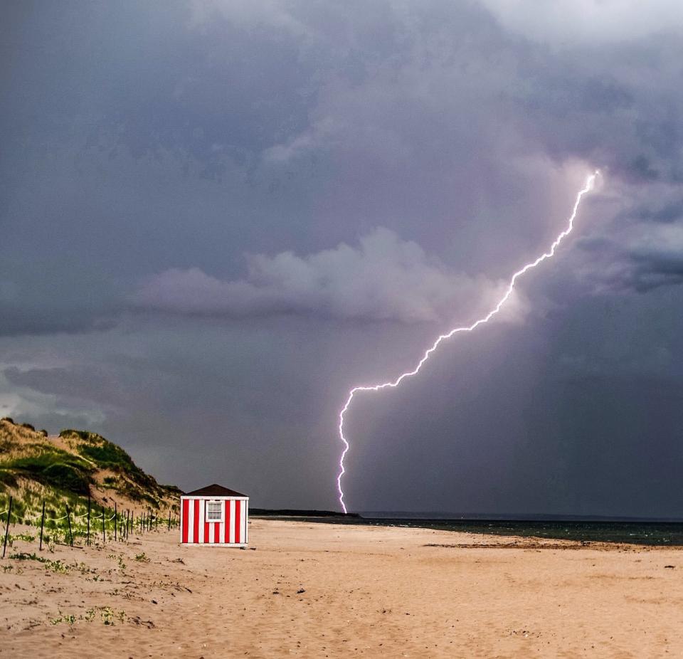
Environment and Climate Change Canada has updated its climate normals as measured at Charlottetown Airport, with the data showing the continuing impact of climate change.
The federal agency determines normal weather at any particular monitoring station using 30-year averages, and updates those normals every 10 years. Recently, it updated the baseline for normal weather at Charlottetown Airport from the span 1981-2010 to the span 1991-2020.
“It’s warmer, and this is not surprising,” said Environment and Climate Change Canada research scientist Megan Kirchmeier-Young.
“We have a pretty strong warming trend across all of Canada, across all regions of Canada. This warming is because of climate change, because of global temperature change increases… We are seeing the impacts of that all across Canada, including in Atlantic Canada and in P.E.I.”

Precipitation is expected to increase in the cooler months, says Environment and Climate Change Canada research scientist Megan Kirchmeier-Young. (Submitted by Megan Kirchmeier-Young)
For the whole year, the average temperature at Charlottetown Airport is now 0.2 C higher than it used to be. While that doesn’t seem like much, its impact can be seen at the extremes of Island weather.
Consider that in the database of new normals:
-
There are four more days a year where the temperature is expected to rise above 20 C, and four fewer days where it drops below –10 C.
-
There are three more days a year where the humidex climbs over 30, and five fewer days a year where the wind chill reaches –20.
-
There are 1.8 more days a year where the wind speed is expected to exceed 52 km/h, including a full extra day in December.
Comparing the two periods also shows some changes in precipitation. There is a slight drop in annual amounts, but spring precipitation in particular is down double digits.
But Kirchmeier-Young cautions against reading too much into the changes shown in the new 1991-2020 normal.
2 decades of overlap
“The two periods, they overlap by 20 years. There’s a lot of the same years going into those normals,” she said. “In the climate scheme, that is still a pretty small amount of time, 10 years,” she said.
But she notes that temperature changes in the normals match up with research Environment and Climate Change Canada has done looking at how the climate in Atlantic Canada changed from 1948 to 2016.
It found a 0.7 C increase in temperature in Atlantic Canada over those 68 years, with higher changes in the summer and autumn.
Findings are likely to be more reliable if they cover a longer period of time and multiple stations are measuring the data, said Kirchmeier-Young, which is why in that particular study, Environment and Climate Change Canada examined six regions in Canada, rather than focusing on particular locations.
Hottest years on record
For people concerned about the impact of climate change on P.E.I., the last few years have been especially worrisome.
The three years following those used for the new normal have been very warm, measuring 1.3 C above the 1991-2020 average.
As with the change in the latest 30-year average, that difference can be seen in the extremes:
-
The number of days where the temperature rose above 30 C averaged 2.7 per year from 2021-23, with the normal being 1.1.
-
The number of days where the temperature fell below -20 C was just 1.7, compared to the normal 5.8.
But as Kirchmeier-Young pointed out, 10 years is a short period for measuring climate change, so three years is even less definitive. The last three years can easily be fit into a statistically expectable range of weather variability.
There is no doubt, however, that the last few years have been exceptional. The last four years in Atlantic Canada are all in the top 10 warmest years measured going back to 1948.
That difference can again be seen in the extremes.
From 1951 to 1974, there were no days in June where the temperature reached 30 C. Over the following 45 years, that mark was reached in only five Junes: in 1975, 1980, 1988, 2000 and 2003. But from 2020 to 2024, there were six June days that had temperatures topping 30 C.
More rain/snow expected
While the signal for climate change is clear in that longer-term study when it comes to temperature, what may be happening with precipitation is not.
Precipitation is more variable, and the change appears to be slighter than it was for temperature.
Intense rainstorms that strike small areas can make summer precipitation averages more difficult to project. (Nick Tweel)
“The long-term trend has been increase in precipitation,” said Kirchmeier-Young
“Generally the projections for the future, if we continue warming, we continue seeing increases in precipitation broadly over the region.”
Given the findings in the longer-term study for Atlantic Canada and general higher variability, she is not too concerned about the decrease in spring precipitation shown in the climate normals.
Projections suggest that while annual precipitation will increase, there may be less summer rain on P.E.I.
“There’s more uncertainty when we talk about summer precipitation,” said Kirchmeier-Young. “Some parts of southern Canada might see some decreases in summer.”

With more extreme weather events being linked to climate change, new measures will be required to keep topsoil on fields, says the P.E.I. Federation of Agriculture. (Submitted by Matt Compton)
The way precipitation works in the summer is different from what happens in the cooler seasons. Small thunderstorms or rain cells can bring a lot of rain to small areas in a short period of time. Outside the summer months, systems carrying precipitation tend to be more widespread, over a bigger geographic region.
Climate change models suggest there will be less summer rain in southern areas, but it is difficult to draw exactly where that north-south line is, and determine whether P.E.I. is above or below it.
‘Preparing for the unknown’
This kind of uncertainty is what concerns the P.E.I. Federation of Agriculture most.
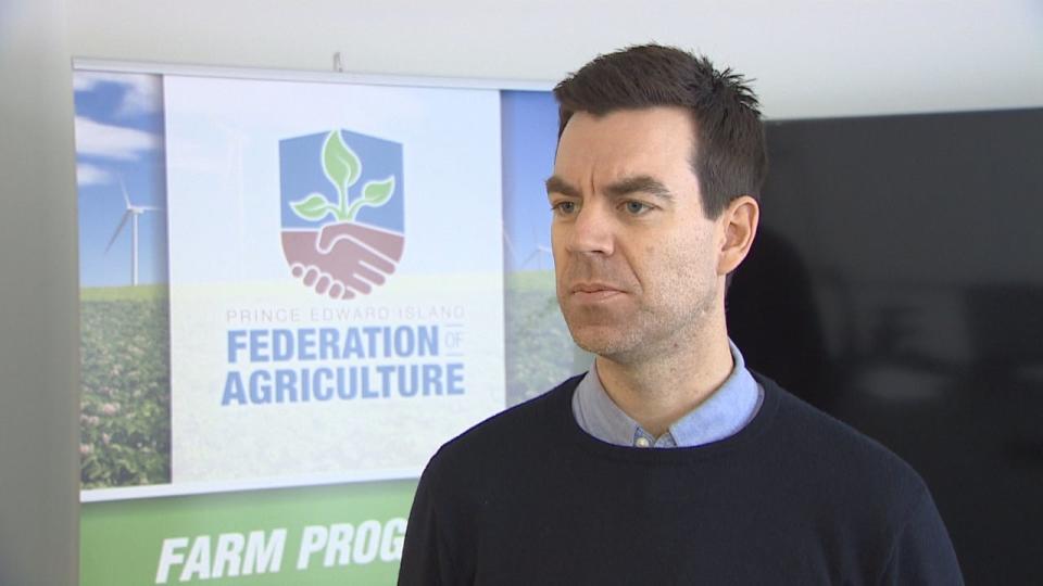
P.E.I. will need to invest in resiliency measures to preserve its agriculture industry, says the Federation of Agriculture’s Donald Killorn. (Shane Hennessey/CBC)
“Climate change and variability is about seeing things you’ve never seen before,” said federation executive director Donald Killorn. “There’s great difficulty in preparing for the unknown. Many of our members are multi-generational farmers. There is a knowledge passed down and that knowledge increasingly is becoming out of date.”
But P.E.I. farmers are doing what they can to prepare. In particular, they are trying to be more ready for extreme events — hurricanes and heavy rainfall — by making changes to fields to protect topsoil, and strengthening infrastructure such as livestock and storage barns.
“This is the future, unfortunately, so investments in agricultural resilience to climate are very smart investments for the Prince Edward Island economy,” said Killorn.